

On the 5 mile hike to Neon Canyon...

No trails...

Just aim for a bump on the horizon and try to walk on rock,


walking on the sand with heavy packs is not fun. That is the "bump" on the horizon we were aiming for, with Neon Canyon directly in line with it. (digital)

Me hiking down the giant sand dune to the Escalante River, and across to Neon Canyon. (digital)


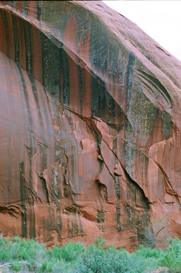
The southern wall of Neon Canyon near its confluence with the Escalante River.


We made camp near the Escalante River, and then hiked up Neon Canyon to see the Golden Cathedral. (digital)


The Golden Cathedral.


I climbed this huge boulder to get a better picture. (digital)


And a few flowers in the desert on the hike out in the morning.


